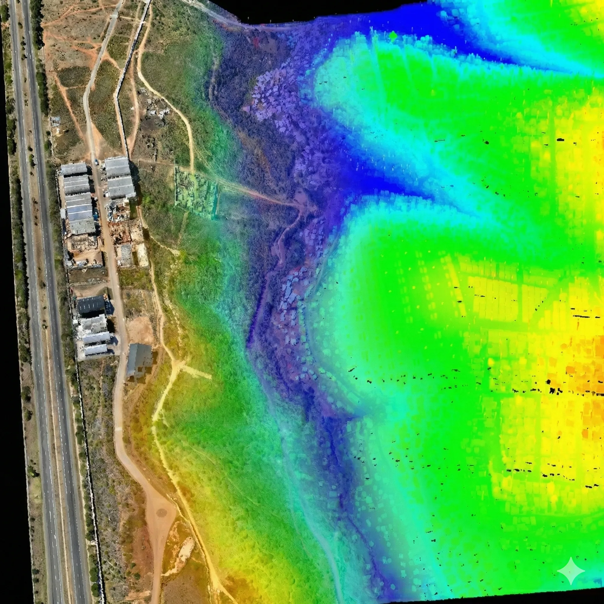
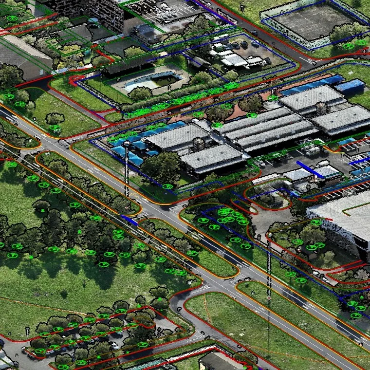
Tygerberg Hospital
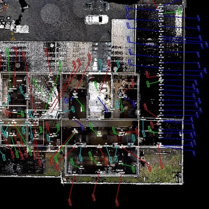
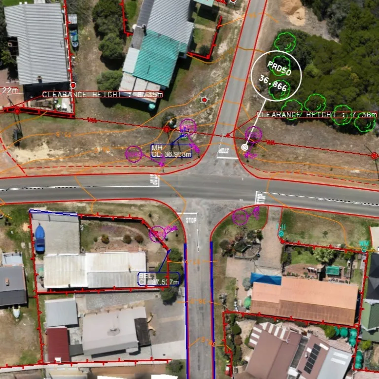
Challenge: Complete topographic survey of all existing features and infrastructure.
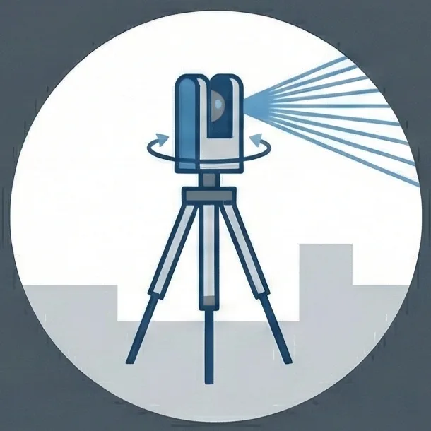
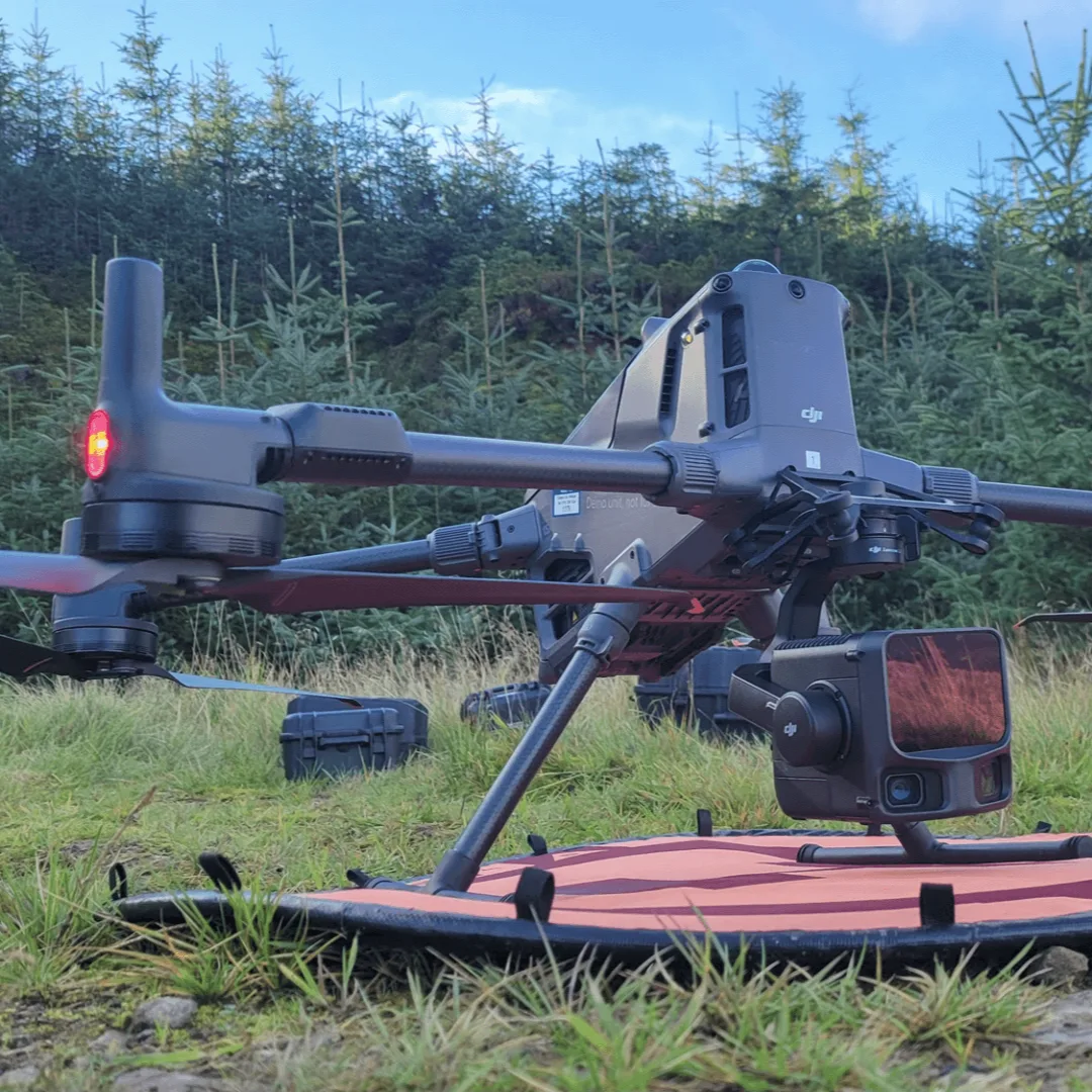
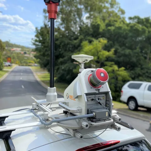
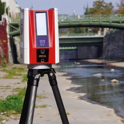
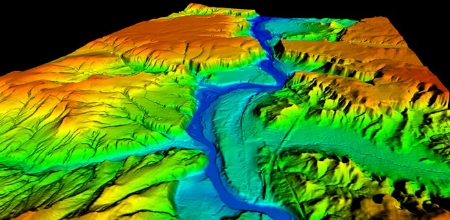
Approach: Deployed drone LiDAR for high-density capture, complemented with mobile scanning of all roads to achieve centimetre accuracy.
Outcome: Delivered a complete 3D colour point cloud, DTM, TMH11 drawings, and a tree diameter schedule.
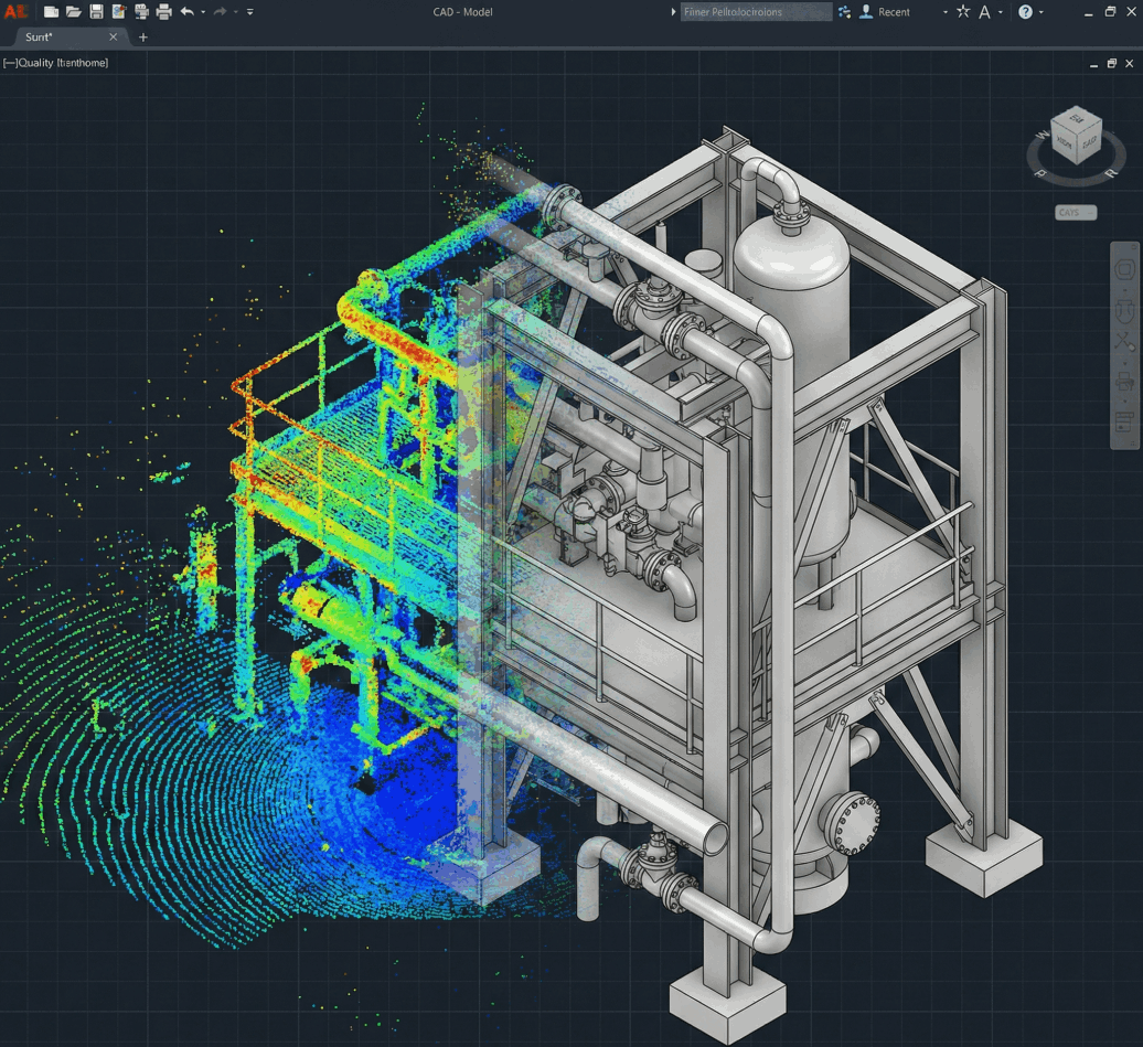
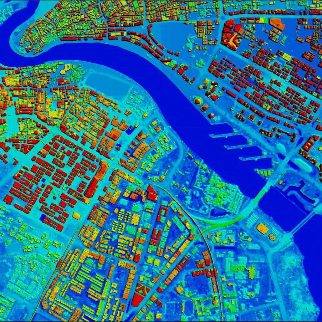
Technologies used
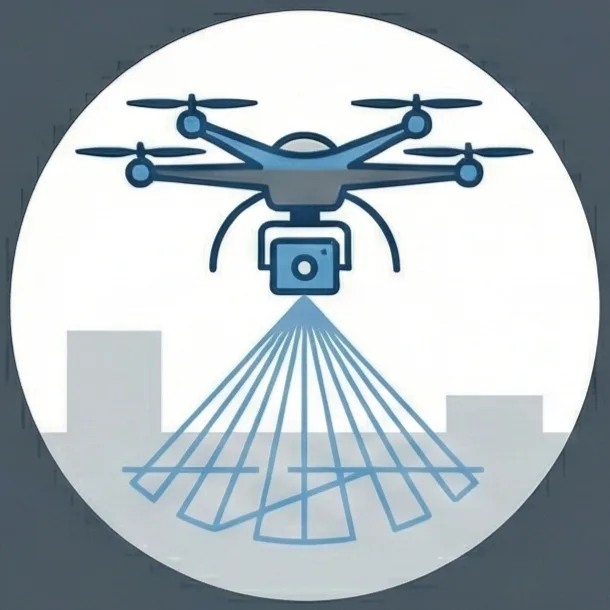

Related services: Drone Survey Mapping, Mobile Corridor Mapping.